


Geosimulate’s unique dynamic media maps, known as “motion maps,” enable location owners/advocates to visually communicate a location’s key advantages and differentiators for use in websites, presentations, targeted email outreach and more.
MOTION MAPS

(hypothical assets, real locations)
Motion maps “play” as videos, usually 20 to 60 seconds long and can highlight a variety of proximity and access characteristics. These can include access to transportation, amenities, proximity to attractive labor characteristics and more.
Motion maps are conceived through initial consulting with the client and are “produced” as small movies. Typical timing for the production of a dynamic map is 1-2 weeks, with rush service available when possible.
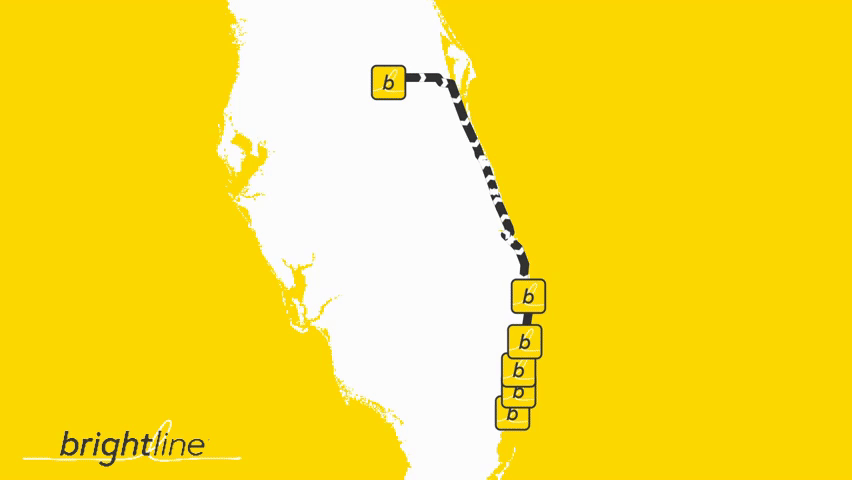
Our static mapping services enable location owners/advocates to communicate a limited number of critical points for boarded presentations or any other circumstance where the ability to display motion is limited.
STATIC MAPS


Static maps are conceived through initial consulting with the client, and typical timing for the production of a static map is one week, with rush service available when possible.

STAYING ON BRAND
Geosimulate mapping services are provided by experienced analytical and design cartographers to ensure maps are consistent with owner/developer, park and/or building-level branding. Mapping is delivered to ensure a seamless coordinated appearance within websites, presentations and other display spaces. Geosimulate offers a full spectrum of color offerings and more than 2,000 fonts. We are also delighted to receive and adhere to your brand standards. Most important is a visual impact that delivers the point you want to make, in the syle you want to make it.

For locations with powerful stories to be told, Geosimulate is available to create 4K-quality compound movie experiences with multiple views, data overlays and facts about location superiority. GeoStudio movies can be added to websites, posted to YouTube channels (included promotion via Geosimulate), distributed via social media and even produced for specific, high-value clients and targets.


Mapping solutions optimized for use in websites, in presentations (including PowerPoint, social media, direct targeted messaging/communications and more.

Geosimulate can generate map-based factual statements that can make tangible aspects of a location that are usually just made generally, optimizing effectiveness and reach.
MAP FACTS

Compare alternatives across critical map-based and other criteria using patented "criteria tree" and GEOSCORE methodologies.
MAP TABS
PEOPLE

Brendan Carroll


Brendan Carroll is the founder of Geosimulate. Having founded Respoke, Geosimulate’s predecessor company in 2022, Mr. Carroll has more than 20 years experience in real estate and geostatistical analysis. Prior to founding the Company, Mr. Carroll served as the Director of Life Sciences Research, Americas for Cushman & Wakefield and has had numerous prior roles in Greater Boston and nationally-focused real estate analytics. Mr. Carroll has been named a BISNOW real estate market leader and one of the “People to Watch” in commercial real estate, by Commercial Property Advisor Magazine. Brendan lives in Boston, Massachusetts.
Press & Media
Media Appearances
Includes appearances as Respoke LLC, may require subscription to view
Geosimulate’s expertise extends to the realm of social media, optimized for use across all major platforms.
SOCIAL MAPS
from Geosimulate on Instagram. View Geosimulate on Instagram, on YouTube, on X, or on LinkedIn.